JeepMe
A TypeScript transit mapping tool with real-time geocoding, fare estimation, and Metro Cebu route discovery.
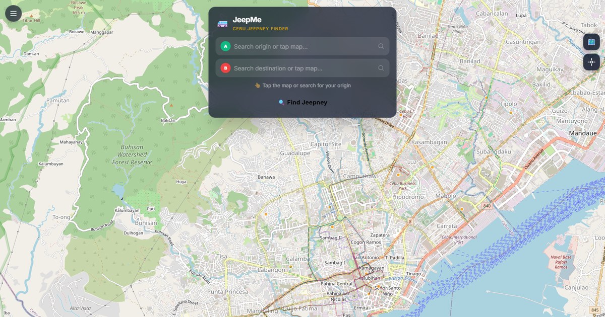
Overview
JeepMe is a transit mapping tool focused on Metro Cebu - jeepney routes, fare estimates, and real-time geocoding to help commuters figure out the most direct path between two points. The local jeepney network is dense but underserved by mainstream mapping apps, and most existing tools either miss routes entirely or give walking directions that ignore public transit.
What it does
Users enter a start and destination, and the tool finds the jeepney routes that connect them, including transfers when needed. Fare estimates account for distance and operator-specific rate tables. The geocoding layer is tuned for local landmarks because Metro Cebu addresses are often described relative to known places rather than street numbers.
Why a local-context tool
Mainstream mapping apps work well in cities where street grids and addresses are reliable. Cebu's transit context is different - jeepneys follow loosely defined routes, addresses are often informal, and the same destination can be reached by multiple route combinations with very different fare totals. Building a tool that respects local context, rather than retrofitting a generic mapping product, made more sense.
What I learned
The data sourcing was harder than the technical implementation. Route data, fare tables, and stop locations had to be assembled from multiple sources and kept up to date. That data work was where the project actually lived - the routing algorithm was relatively straightforward once the data was clean.