Campus Navigator
A capstone-style geolocation campus navigation app with real-time search and route guidance.
Overview
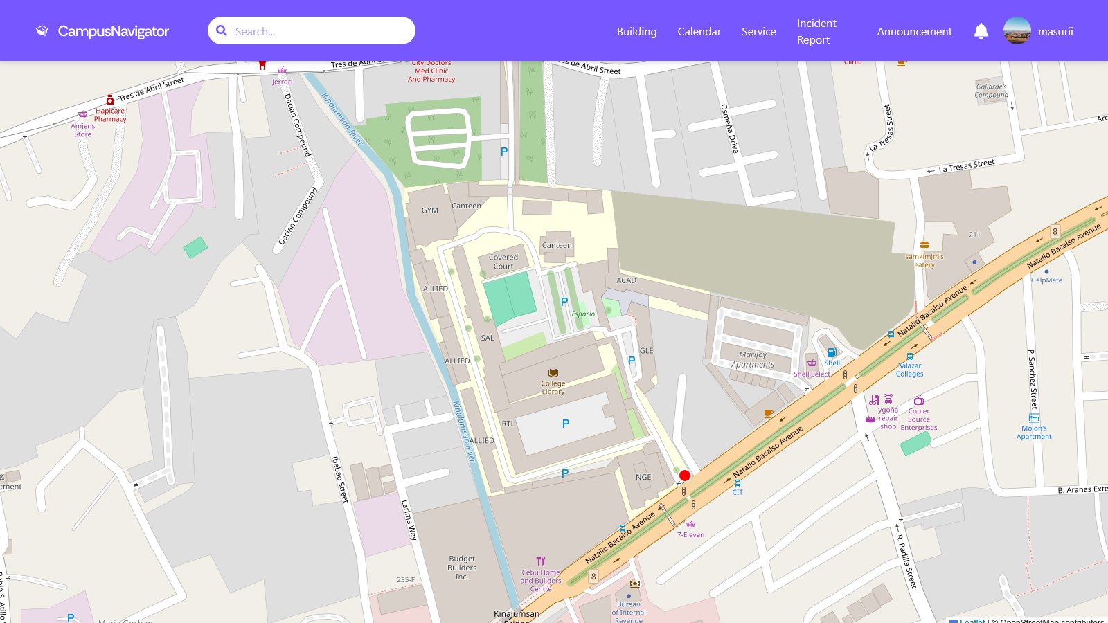
Campus Navigator was the final project for CSIT321 - a campus navigation tool with real-time geolocation, search, and route guidance. The brief was open enough that the team could pick the technical direction. We chose to make it actually work outdoors on a real campus rather than build a polished demo that fell apart the moment GPS noise entered the picture.
What it does
Users open the app on their phone, search for a building or facility, and get walking directions across the campus. The map is annotated with the campus's actual paths rather than relying on the road graph that consumer maps assume. Real-time location keeps the route updated as the user walks, which sounds basic until you try to handle GPS jitter near tall buildings.
Technical lessons
The hardest part of this project was not the routing algorithm. It was handling the messiness of real-world location data. Phones lose accuracy near buildings, drift between updates, and produce fake position jumps that would tell the user to do a U-turn for no reason. We added a smoothing layer and confidence thresholds before the route updated, which made the experience much steadier even though the underlying data was the same.
What I learned
Capstone projects often optimize for what looks good in a demo. We tried to optimize for what worked when you actually walked across campus with the app open. That's a different design target, and it pushed us to focus on robustness over feature count. I came out of this project much more comfortable with the gap between something that works in testing and something that holds up in the wild.